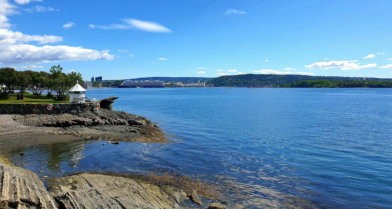
If you know Oslo for museums, cafés and clean Scandinavian streets, here’s the part visitors miss: some of the best summer escapes are minutes away on the water. Buy a coffee in the centre, step onto a public ferry, and be swimming, picnicking or walking a quiet island path before it goes cold.
What makes them work is the variety. Hovedøya has beaches and history, Lindøya is all colourful cabins, Gressholmen feels lived-in and local, Langøyene is built for long beach days. Nakholmen and Bleikøya are the quiet alternatives. There is no single best one — it depends on the day you want.
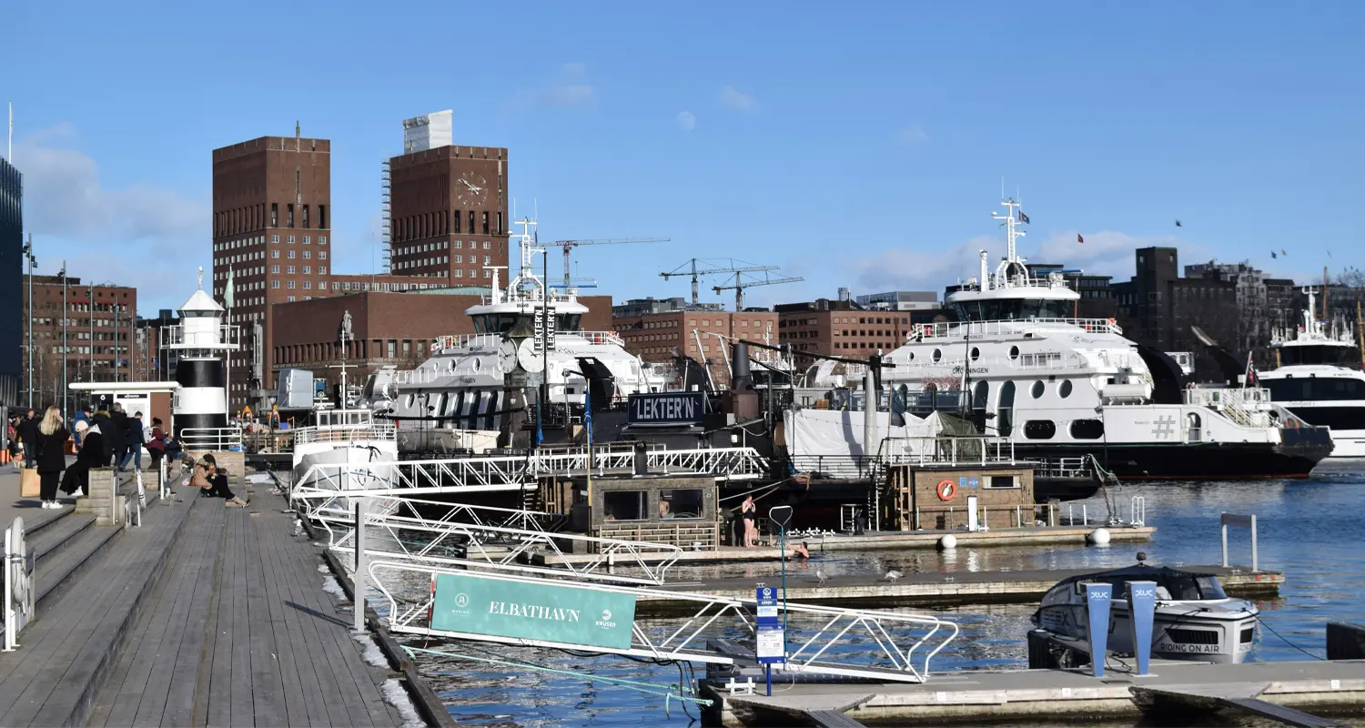
Three lines serve the inner islands:
B1 — the year-round circle: Hovedøya, Lindøya, Gressholmen, Bleikøya, Nakholmen.
B1X — extra summer departures, running direct to Hovedøya.
B2 — the seasonal route to Langøyene.
In summer departures are frequent and island hopping is easy. Outside peak season services thin out, so check the timetable before you go. The Ruter app handles both tickets and schedules.
On busy days boats fill up, but they keep running until everyone has been carried — as long as you’re standing on the dock at departure time. Don’t cut it fine.
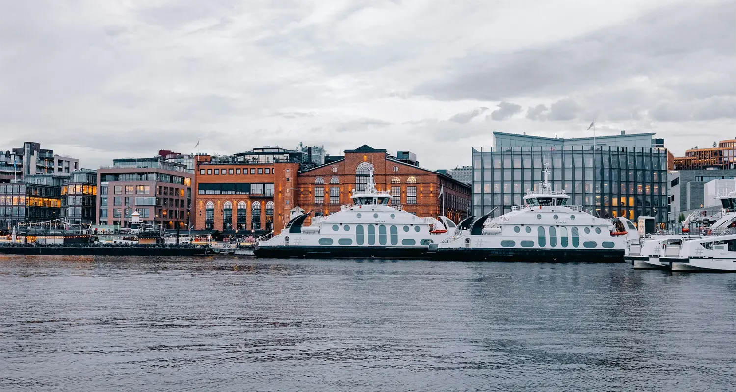
If you visit one island, make it this one. Seven minutes out, and packed with variety: two beaches on the western side, walking paths, a big grassy field in the middle, and real historical layers.
The Cistercian monastery ruins date from 1147. Later came the military — two large cannon emplacements from 1808 and two gunpowder depots still stand. In summer there are usually art exhibitions in Lavetthuset, one of the old military buildings near the ferry landing.
Food: Klosterkroa, by the monastery ruins, serves snacks and light meals in summer. If you’re properly hungry, Revierhavnen Kro near the guest harbour to the north is a full à la carte restaurant.
One rule: no overnight stays and no campfires. Parts of the island are a nature reserve, and the plants and wildlife are protected. Barbecuing is allowed only at the designated grills, or on gravel and sand.
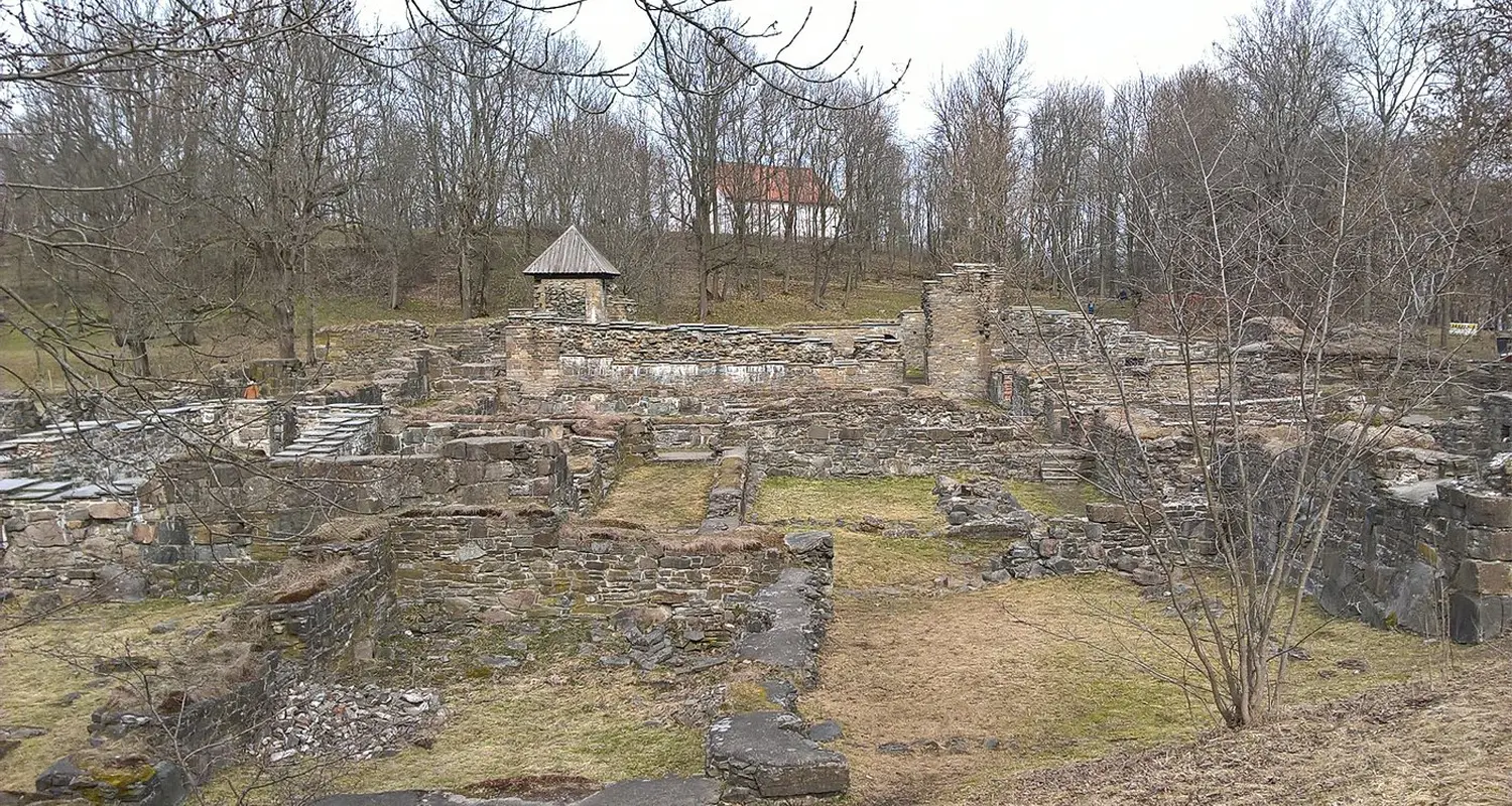
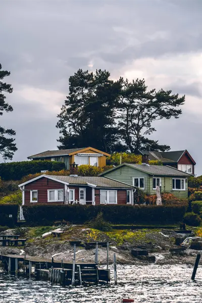
Gressholmen, joined to neighbouring Rambergøya and Heggholmen, is the relaxed, lived-in one. Nature, swimming and walking paths, with a bit of history — this is where Oslo’s early seaplane traffic operated.
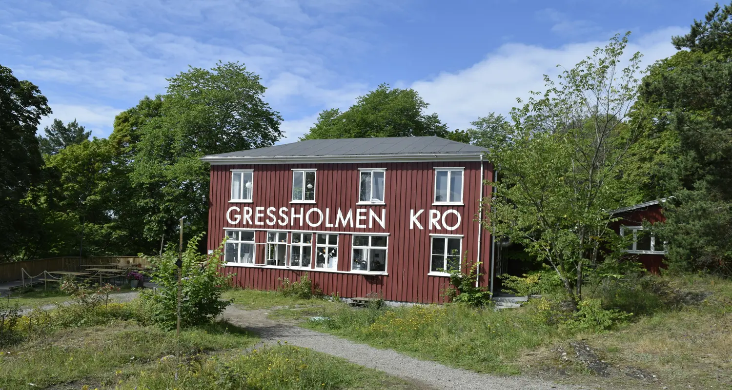
It’s also the best island for eating. Gressholmen Kro is a seasonal restaurant in a building that dates back to the 1920s, and it’s the reason plenty of locals come out here at all.
Low-key and residential, known for its holiday cottages and unhurried pace. There’s a small beach, a bathing jetty, a diving board and a swimming raft.
No major attractions, which is the point. It feels like ordinary Oslo summer life. Bring snacks and plan a slow day.
Often overlooked, which is exactly its appeal. Better for walking than swimming, with scenic trails and few crowds.
Nearby Bleikøykalven is a protected seabird area, which adds some nature interest. Good as part of a multi-island trip if you prefer calm over busy beaches.
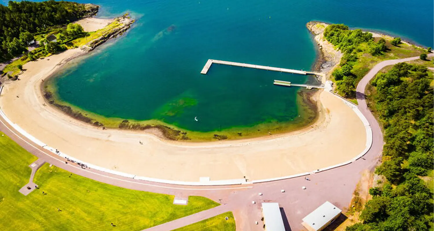
The one that feels most like a classic summer getaway: long beaches, open space, toilets, a kiosk, and a designated nudist area. Thirty minutes out on the B2, summer only.
It’s also the only island where you can camp. Free, tents only, maximum two successive nights, and only in the marked area on the northern side. No fires. Quiet between 23:00 and 07:00. Tents at least three metres apart. If you want longer, you leave for 24 hours and come back.
There is no tap water on Langøyene. Bring everything you’ll drink — the kiosk is seasonal, weather-dependent and expensive.
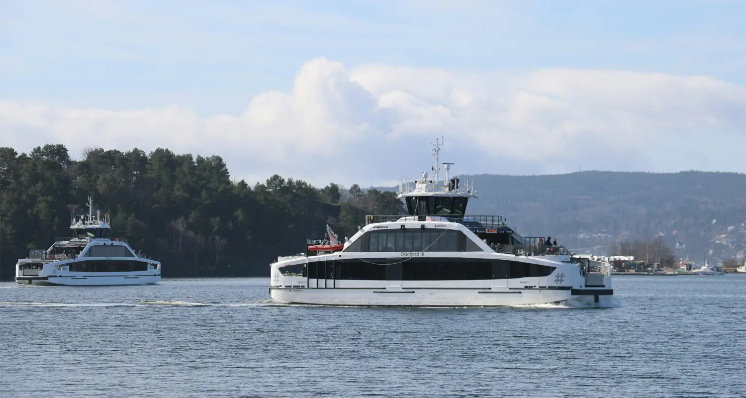
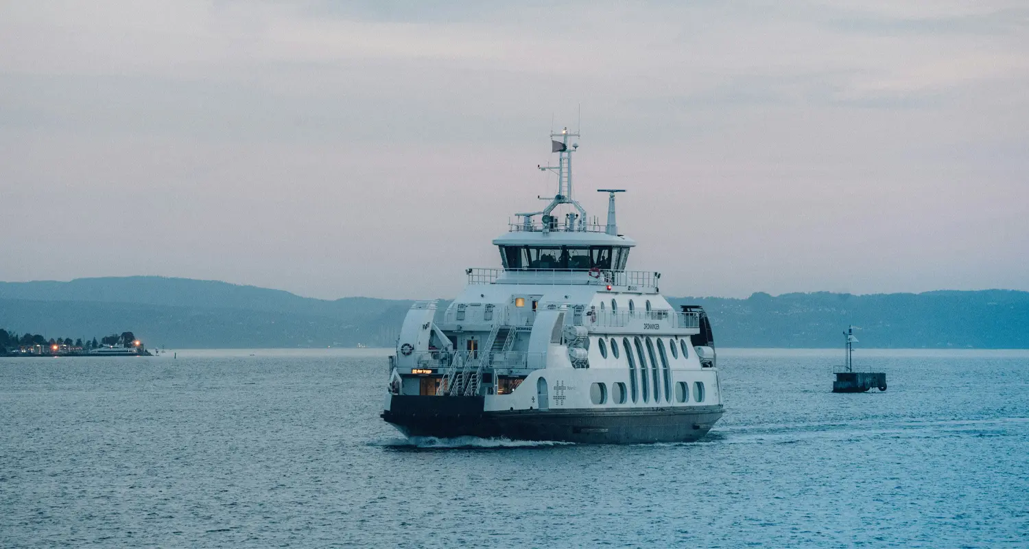
You don’t need a cruise. Regular public transport ferries do the job, on the ticket you already have.
Camping is Langøyene only. Two successive nights, northern side, no fires.
Not every island is for swimming. Bleikøya is mainly for walking, and parts of Lindøya’s shoreline require care.
Hovedøya isn’t just a beach island. Monastery ruins from 1147 and visible military remains from 1808.
Dress for change. Fjord weather shifts fast. Bring a light layer even on a warm morning.
Plan your return. There is no water taxi waiting to rescue bad planning. Missing the last ferry isn’t a funny travel story — it’s an expensive one. Check the return time before you settle in.
Late spring through summer is the window — ferries are frequent and the water is pleasant by Oslo standards. Outside that, expect emptier paths, fewer boats and most facilities closed.
Bring water, sunscreen, a towel and food, unless you’re deliberately planning around Klosterkroa or Gressholmen Kro. Facilities differ island to island, and that unevenness is part of why these places still feel local rather than packaged.
| Island | Ferry | Pick it for | Food on site |
|---|---|---|---|
Hovedøya |
B1 / B1X, ~7 min |
First visit — beaches, monastery ruins, cannons |
Klosterkroa (summer) |
Lindøya |
B1, ~15 min |
Colourful cabins, slow walks, atmosphere |
Small shop |
Gressholmen |
B1, ~18 min |
Local feel, nature, the best meal out there |
Gressholmen Kro |
Nakholmen |
B1 |
Quiet, simple days, bathing jetty |
Small shop |
Bleikøya |
B1 |
Walking and peace, seabird reserve nearby |
None — bring food |
Langøyene |
B2 (summer), ~30 min |
Beach day, camping, warmest water |
Kiosk (seasonal) |
Tips-based: free to join, and you decide at the end what it was worth.
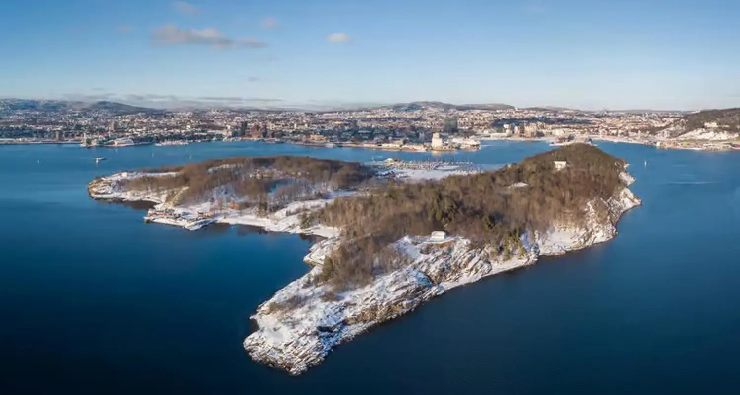
Most visitors treat the islands as a summer thing, but they don’t shut down when the temperature drops. Hovedøya, Gressholmen, Bleikøya, Lindøya and Nakholmen stay reachable on the year-round B1, and a winter trip gives you something the summer version can’t: empty paths, frozen shoreline, and the Oslo skyline under snow.
The trade-off is that the seasonal layer disappears. Cafés, kiosks, toilets and swimming facilities are closed, departures thin out, and daylight is short. Dress warmer than the city forecast suggests — wind across open water routinely makes it feel several degrees colder out there than it does downtown.
Think of it as a walk rather than a day out. Hovedøya is the easiest choice: shortest crossing, well-marked paths, and the most to look at. Gressholmen is the one to pick if the goal is simply silence.